
Flood Extent Maps
Hawkesbury City Council - Hawkesbury River Flood Extent Maps
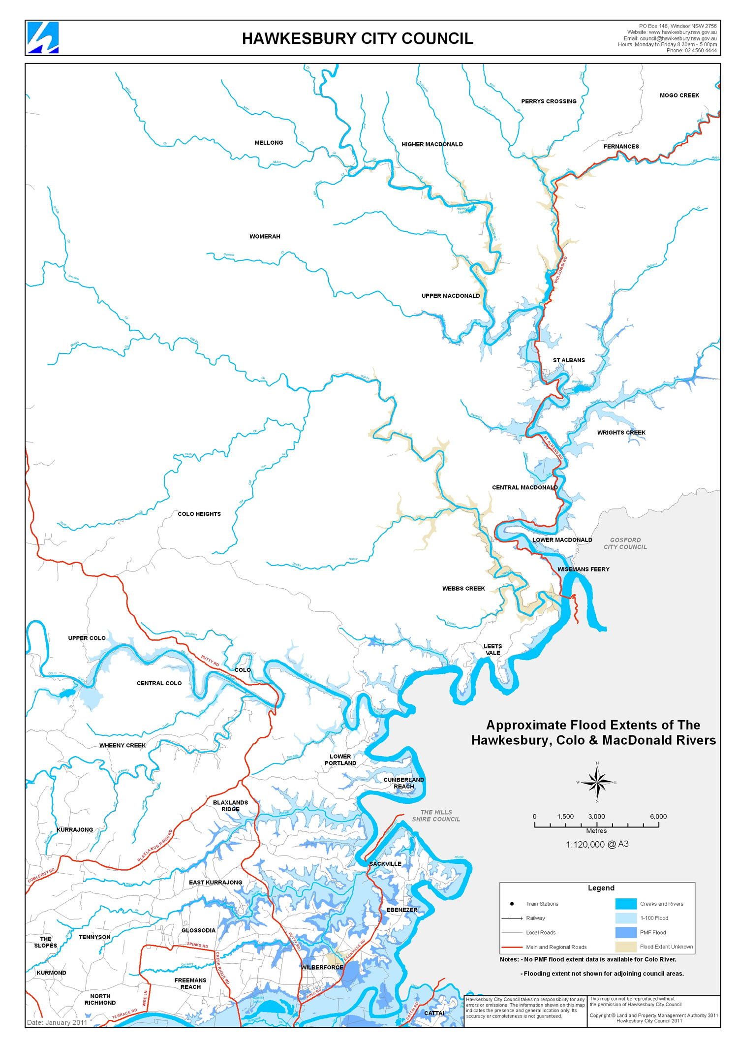
The maps provide an approximation of the extent of riverine flooding for the 1 in 100 year flood event and the Probable Maximum Flood event.
Select each map to view the whole area.
Flood Extent Map - South

Flood Extent Map - North
Page ID: 164553
